

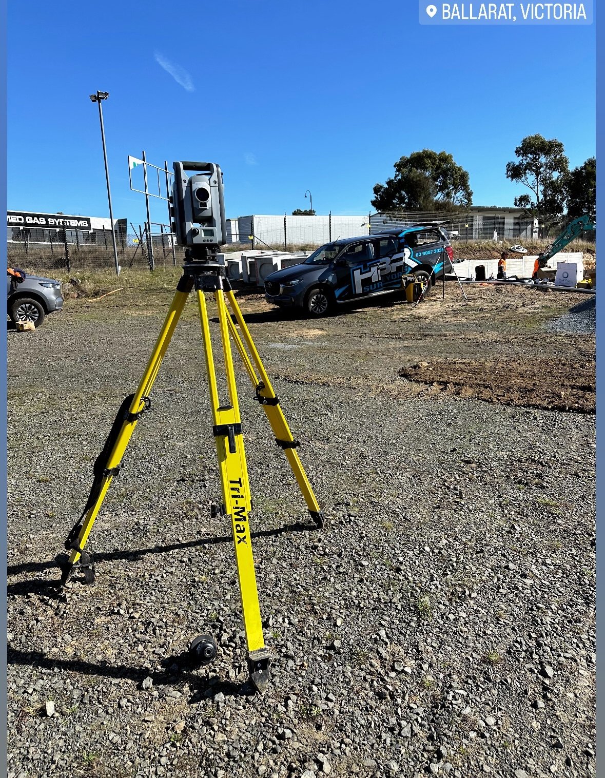

Understanding Site Calibration: A Step-by-Step Guide
In the world of surveying, site calibration is a critical process that ensures accurate measurements when working on a project. Calibration allows surveyors to align their equipment with the local terrain, reducing errors and improving precision. Whether you’re working with GPS, total stations, or machine control systems, site calibration is essential for delivering reliable data. In this post, we’ll take you through the step-by-step process of site calibration and explain why it’s so important for successful surveying.
What is Site Calibration?
Site calibration, also known as localization, is the process of matching GPS or total station data with the actual physical site conditions. This ensures that the coordinate system used in the survey matches the geodetic system or local grid being used on the project. By performing a calibration, surveyors can reduce inaccuracies caused by terrain variations, atmospheric conditions, or equipment drift.
Why is Site Calibration Important?
Without proper calibration, even the most advanced equipment can produce errors, leading to inaccurate layouts, flawed designs, and costly rework. By calibrating equipment to match local site conditions, surveyors can ensure precision and accuracy, which are crucial in construction, boundary surveys, and large-scale infrastructure projects.
Step-by-Step Site Calibration Process
Here’s a simple guide to performing a site calibration:
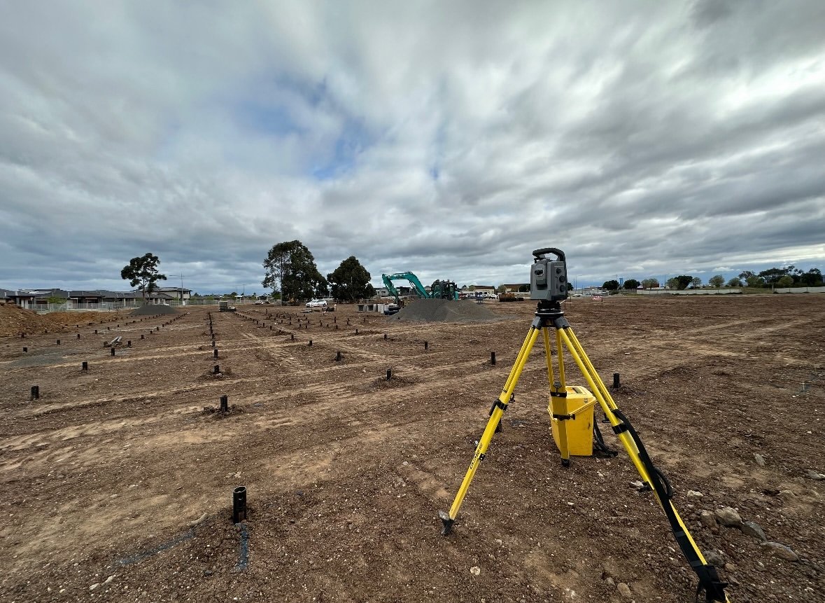
- Select Control Points:
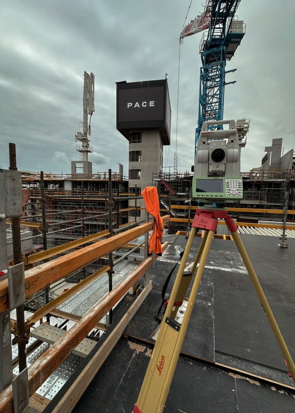
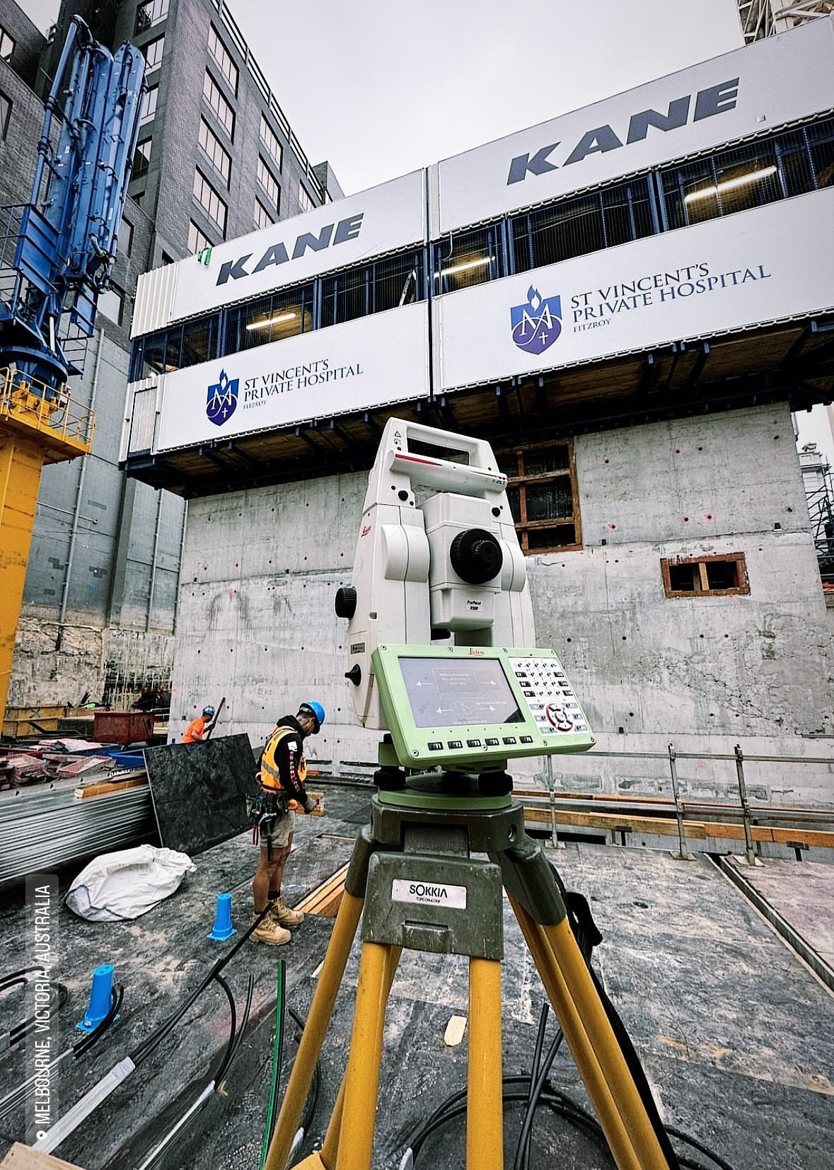
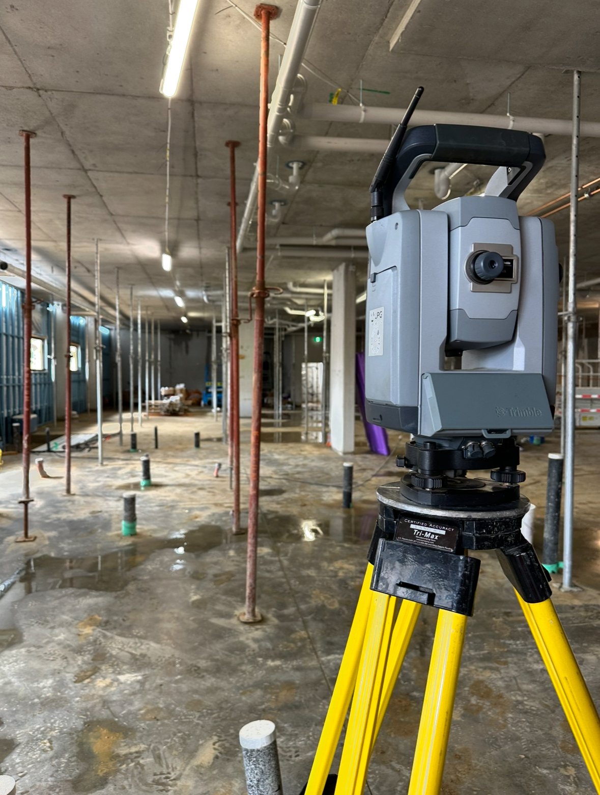
Start by identifying a set of known control points on the site. These points should have established coordinates, ideally based on a national or local geodetic system. The more control points you use, the better your calibration will be. - Set Up Your Equipment:
Position your GPS receiver or total station on each control point. Make sure your equipment is leveled and ready to take precise measurements. Use a base station if working with GPS to ensure accuracy. - Take Measurements:
Measure the location of each control point using your survey equipment. Ensure the equipment captures both horizontal and vertical data for complete accuracy. This step aligns your local coordinates with the project’s geodetic coordinates. - Enter Data into the Software:
Input the measured data into your surveying software (such as Trimble Business Center). The software will calculate the transformation parameters needed to match the site’s coordinates with your equipment’s readings. - Perform Adjustments:
Based on the software’s calculations, adjust your survey equipment settings to ensure that subsequent measurements align with the calibrated coordinates. Most systems will allow you to automatically apply these transformations. - Verify Calibration:
After adjusting, test your calibration by measuring a few more control points. Compare the results to ensure accuracy. If discrepancies are detected, repeat the calibration process.
Best Practices for Site Calibration
- Use Multiple Control Points:
The more control points you use, the more accurate your calibration will be, especially for larger or complex sites. - Perform Calibration Regularly:
Site conditions and equipment accuracy can change over time. Regular calibration is essential, particularly for long-term projects. - Double-Check Data:
Always double-check your data before proceeding with important measurements. Small errors can lead to big mistakes later in the project.
Conclusion
Site calibration is a vital process for any surveyor looking to ensure precise and reliable measurements. By following this step-by-step guide, you can align your equipment with local conditions, minimize errors, and enhance the overall quality of your work. Whether you’re working on a large infrastructure project or a simple boundary survey, proper calibration is the foundation of success.