


Top Surveying Technologies Revolutionizing the Industry
Surveying has always been a cornerstone of construction, land development, and infrastructure planning. However, the tools and technologies used by survey engineers have evolved dramatically over the years. From traditional chains and compasses to modern GPS, LiDAR, and drones, these advancements have revolutionized the industry, making surveys more accurate, efficient, and accessible. In this post, we’ll explore the top surveying technologies that are changing the way survey engineers work.
1. Global Positioning System (GPS)
GPS technology has been one of the most transformative innovations in surveying. Instead of relying on manual measurements, surveyors can now use GPS to determine precise coordinates on Earth. This technology enables real-time positioning, significantly reducing the time needed to complete surveys.
Benefits of GPS in Surveying:
- High accuracy: Modern GPS systems offer precision within millimeters, which is critical for construction and land development.
- Speed and efficiency: Surveying large areas can be done in a fraction of the time compared to traditional methods.
- Versatility: GPS can be used in various environments, from urban settings to remote areas.
2. LiDAR (Light Detection and Ranging)
LiDAR is a remote sensing technology that uses laser pulses to measure distances to the Earth’s surface. It’s particularly useful for creating high-resolution 3D maps and topographical models.
Benefits of LiDAR in Surveying:
- Detailed 3D modeling: LiDAR creates detailed representations of terrain, making it ideal for projects that require complex analysis.
- Ability to penetrate vegetation: LiDAR can capture data even through dense vegetation, providing accurate land surface information in forests and rural areas.
- Speed: Aerial LiDAR systems mounted on drones or planes can survey large areas quickly.
3. Drones (Unmanned Aerial Vehicles)
Drones have become a game-changer in surveying. Equipped with high-resolution cameras and sensors, drones can capture aerial images and videos of sites, which are then processed into accurate maps and models.
Benefits of Drones in Surveying:
- Access to difficult terrains: Drones can easily survey areas that are hard to reach on foot, such as mountains or rugged landscapes.
- Cost-effective: Compared to traditional aerial surveys, drones are a more affordable option for small and medium-sized projects.
- Real-time data: Drones can quickly capture and relay real-time data, which can be invaluable for ongoing construction projects.
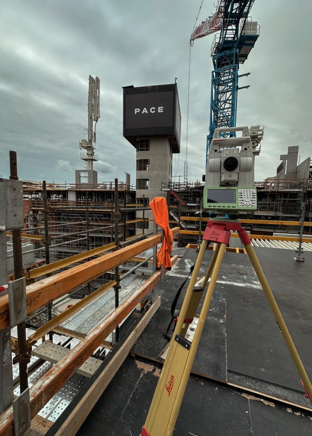
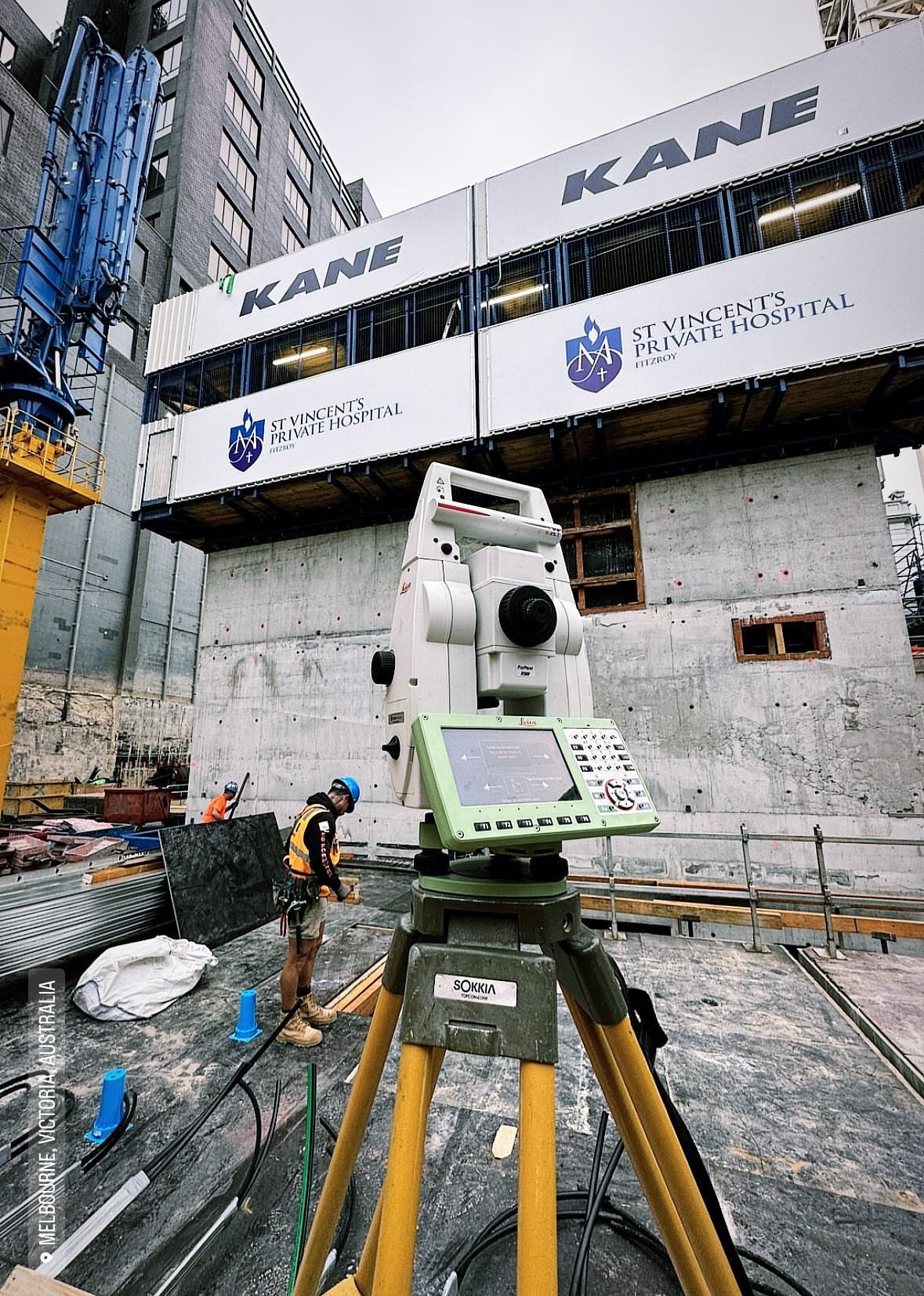
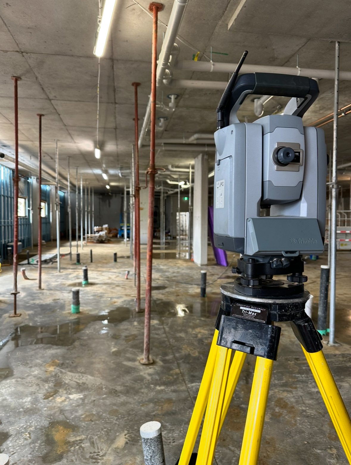
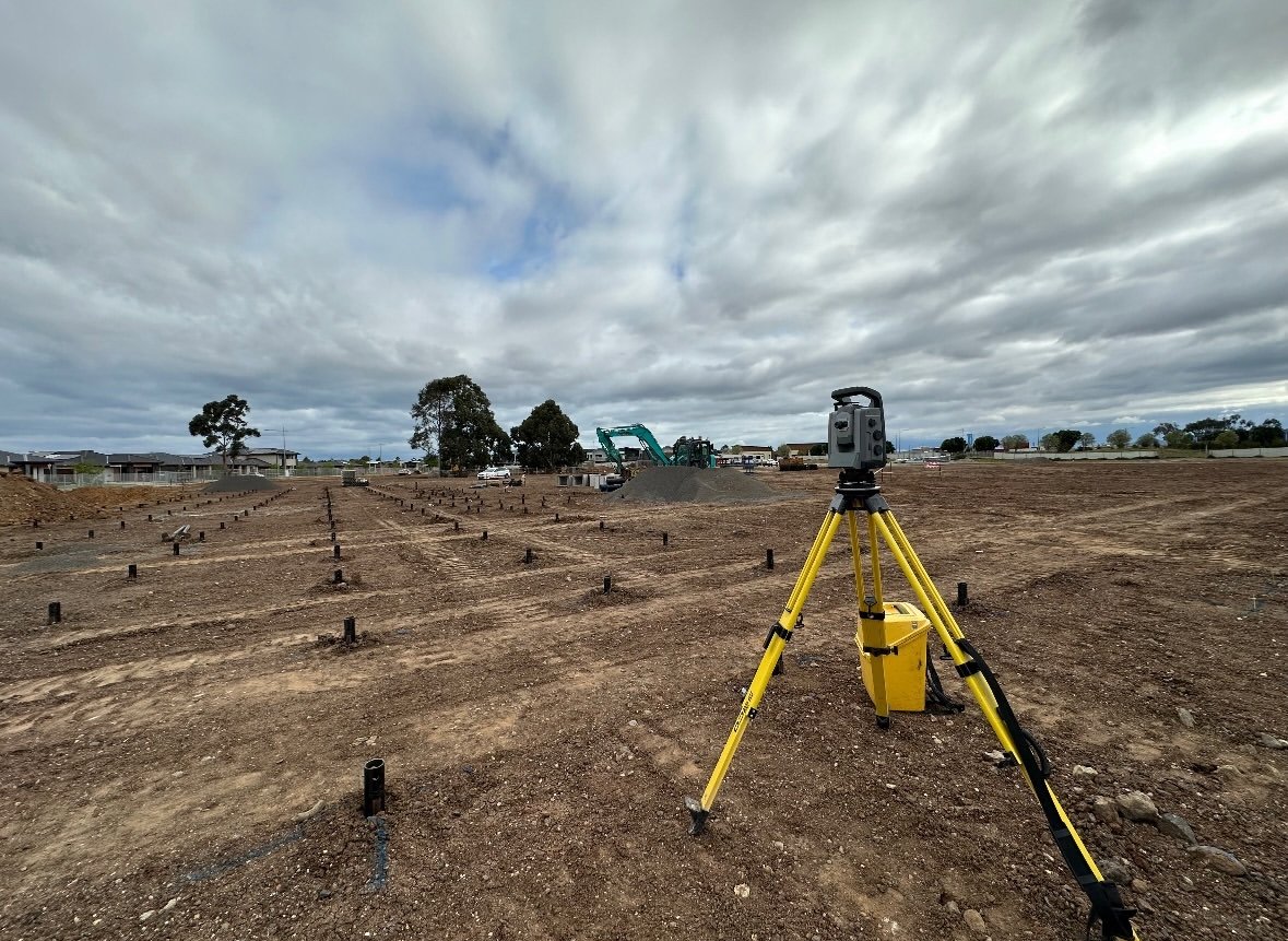
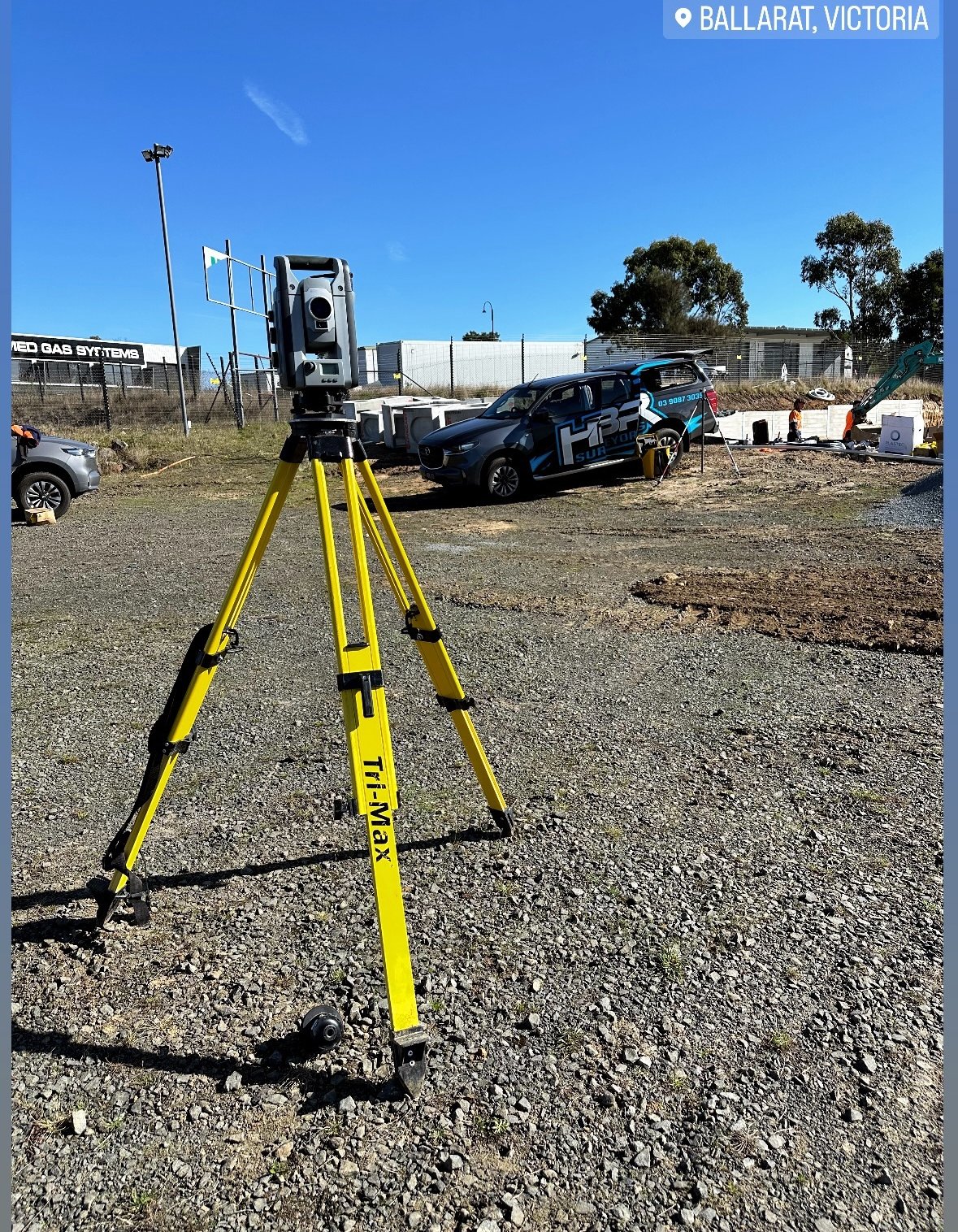
4. Total Stations
A total station is an electronic/optical instrument that combines the functionality of a theodolite with distance measurement technology. This versatile tool allows surveyors to measure angles and distances simultaneously, improving the accuracy and speed of surveys.
Benefits of Total Stations in Surveying:
- High accuracy: Total stations provide precise measurements, even over long distances.
- Real-time data: Modern total stations allow surveyors to collect data on-site and instantly transfer it to software for analysis.
- Efficiency: By combining multiple functions into one tool, total stations reduce the need for manual calculations and data entry.
5. Geographic Information Systems (GIS)
GIS technology enables survey engineers to analyze and manage large datasets related to geographic locations. By integrating various types of data (such as maps, terrain models, and demographic information), GIS provides valuable insights for urban planning, land management, and infrastructure projects.
Benefits of GIS in Surveying:
- Comprehensive data analysis: GIS allows for the integration of various datasets to create a holistic view of a site.
- Enhanced decision-making: By visualizing data in layers, surveyors and planners can make better-informed decisions about land use and project development.
- Improved collaboration: GIS data can be easily shared with other professionals, enabling better coordination across teams.
Conclusion
The surveying industry has come a long way from traditional tools and techniques. Modern technologies like GPS, LiDAR, drones, total stations, and GIS have revolutionized the way survey engineers work, offering unprecedented accuracy, speed, and efficiency. As these technologies continue to evolve, survey engineers will be better equipped to meet the demands of increasingly complex infrastructure and land development projects.