


Deformation Analysis in Surveying: Methods for Monitoring Structural Changes
Deformation analysis is a critical aspect of survey engineering used to monitor and measure changes in structures or land over time. Whether you’re working on large infrastructure projects, such as bridges and dams, or monitoring natural landscapes like landslides or fault lines, deformation analysis helps detect and assess movement and displacement. This post will explore the importance of deformation analysis, key methods used in the field, and its practical applications in survey engineering.
What is Deformation Analysis?
Deformation analysis refers to the process of measuring and analyzing changes in the position, shape, or size of a structure or terrain over time. These changes, known as deformations, can occur due to various factors such as natural forces (e.g., earthquakes, erosion) or man-made activities (e.g., construction, excavation).
Survey engineers use deformation analysis to detect even the smallest shifts or movements in a structure or landscape, ensuring that any issues are identified before they become critical. Accurate and timely deformation analysis is crucial for maintaining structural integrity and safety.
Key Methods Used in Deformation Analysis
Several methods are commonly used in deformation analysis, each suited to different types of structures or environments. Here are some of the most widely used techniques:
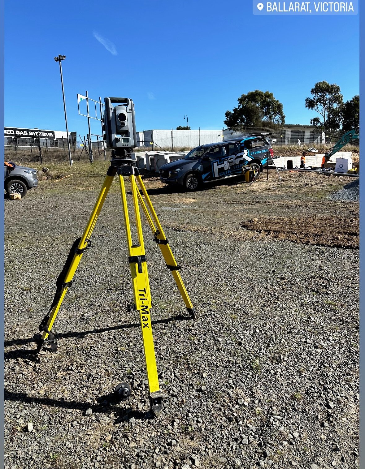
- Geodetic Monitoring (GPS/GNSS)
One of the most common methods for deformation analysis is GPS/GNSS monitoring. By installing GPS sensors on structures or points of interest, survey engineers can continuously measure changes in position. The high accuracy of modern GNSS technology allows for real-time monitoring of deformation in bridges, dams, and other large structures. - Total Station Monitoring
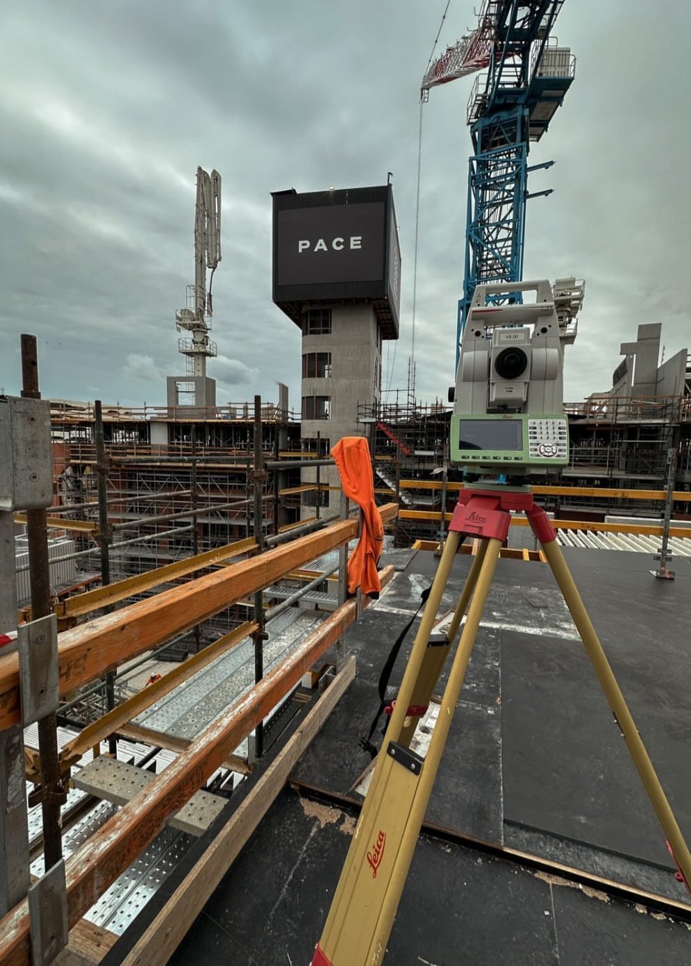
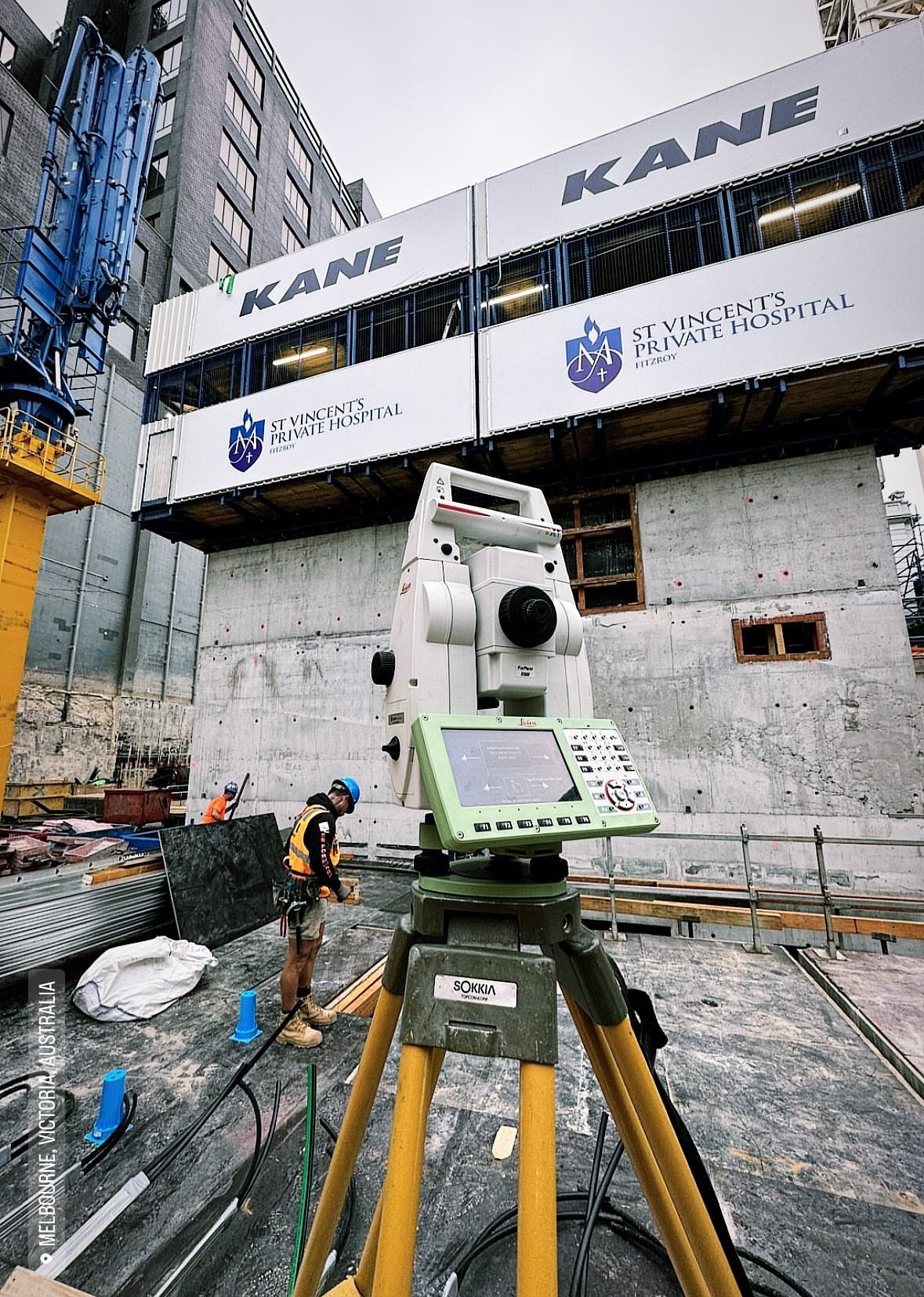
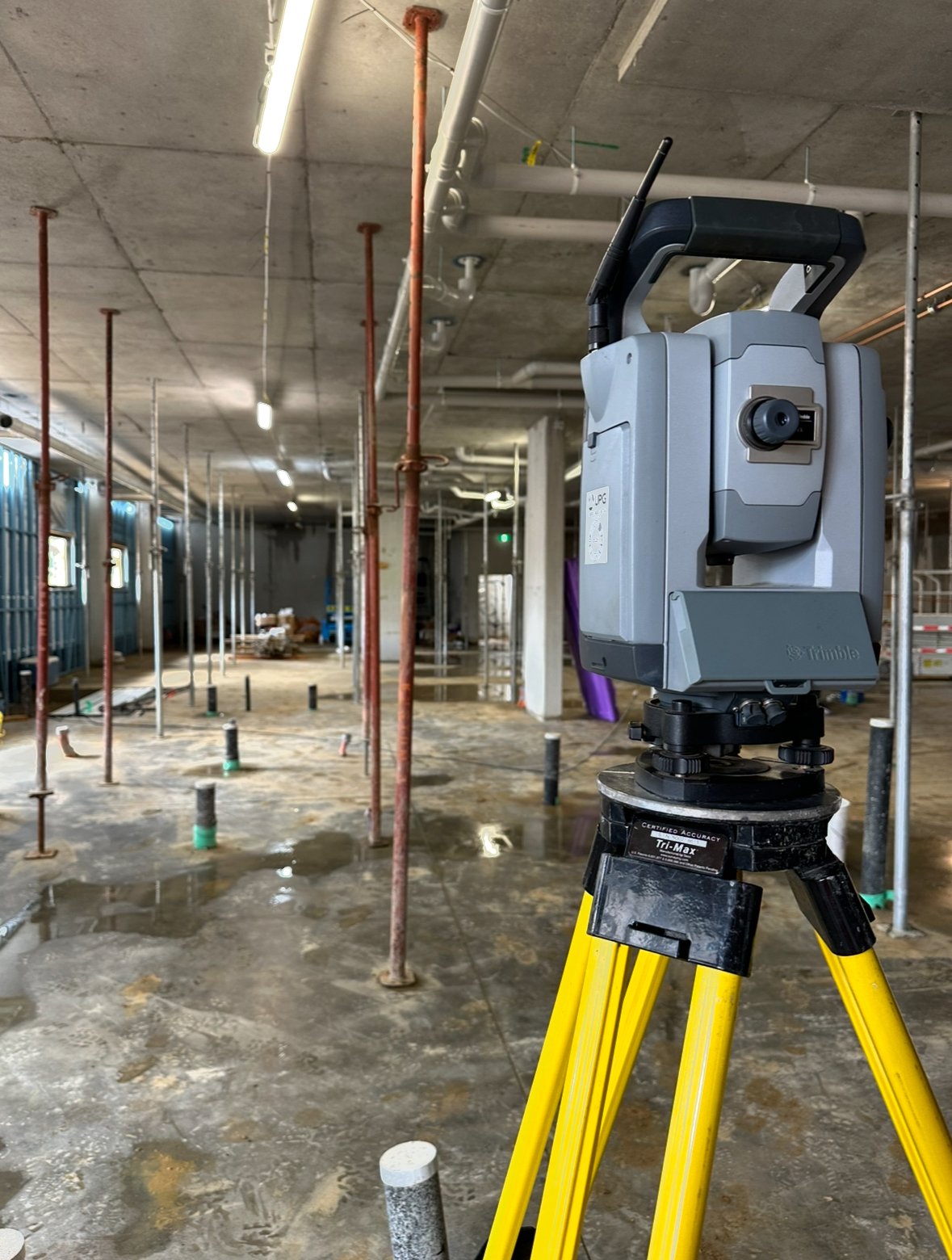
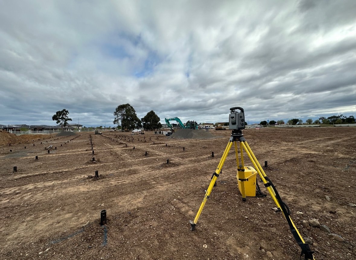
Total stations are widely used for high-precision monitoring of structural deformations. Survey engineers establish a network of control points and repeatedly measure the position of target points over time. This method is especially useful for tunnels, retaining walls, and other civil engineering projects where shifts or tilts need to be detected with precision. - Leveling Surveys
Precise leveling is another key method for detecting vertical deformations. In projects such as dam monitoring or ground subsidence analysis, leveling surveys provide highly accurate measurements of height changes over time, helping engineers identify subsidence or uplift. - Laser Scanning (LiDAR)
Laser scanning technology, such as LiDAR, is becoming increasingly popular for deformation analysis. Laser scanners can quickly capture a detailed 3D model of a structure or landscape, allowing survey engineers to compare scans over time and detect any subtle deformations. This method is particularly effective for monitoring large areas or complex structures like historical buildings or natural terrain. - InSAR (Interferometric Synthetic Aperture Radar)
InSAR is a remote sensing technique used for monitoring ground deformation over large areas, such as landslides, earthquakes, or volcanic activity. InSAR uses satellite data to measure surface displacement, providing a valuable tool for geospatial monitoring in remote or inaccessible areas.
Applications of Deformation Analysis in Surveying
Deformation analysis is vital in various fields, from civil engineering to environmental monitoring. Some of its primary applications include:
- Structural Health Monitoring
In construction and infrastructure projects, deformation analysis is used to ensure the structural integrity of buildings, bridges, dams, and tunnels. By continuously monitoring movements and stresses on these structures, engineers can prevent failures and improve safety. - Geotechnical Monitoring
Deformation analysis is crucial in geotechnical engineering, where survey engineers monitor changes in terrain, slopes, and retaining structures. For example, in mining operations, deformation analysis can detect ground subsidence or slope instability, helping to mitigate potential hazards. - Natural Hazard Monitoring
Deformation analysis is essential for monitoring natural hazards such as landslides, earthquakes, and volcanic activity. Technologies like InSAR and GPS/GNSS help geologists and survey engineers detect ground movements that may indicate impending disasters, providing valuable early warning systems. - Historical Preservation
For the preservation of historical monuments and heritage sites, deformation analysis helps monitor structural changes due to aging, weathering, or nearby construction activities. This ensures that preservation efforts can be undertaken before significant damage occurs.
Conclusion
Deformation analysis plays a critical role in modern surveying, helping engineers monitor and detect changes in structures and landscapes over time. By using techniques like GPS monitoring, total station surveys, and LiDAR scanning, survey engineers can ensure that structural and geotechnical projects remain safe and stable. Whether you’re working on large infrastructure or natural hazard monitoring, mastering deformation analysis is essential for ensuring long-term safety and project success.