


The Evolution of Surveying Tools: From Chains to Satellites
Surveying, one of the world’s oldest professions, has undergone a remarkable transformation over the centuries. What began as a simple method of measuring land using basic tools has evolved into a highly sophisticated practice powered by cutting-edge technology. From chains and compasses to satellites and drones, surveying tools have revolutionized the way we measure and map our world. In this blog post, we’ll take a closer look at the key developments in surveying tools and how they’ve shaped the profession.
Early Tools: Chains, Compasses, and Theodolites
In the early days of surveying, measurements were taken using manual tools like chains and compasses. The Gunter’s chain, invented in the early 17th century, became a standard for measuring land distances. Surveyors would physically walk the land, counting chain links to calculate distances between points. While accurate for its time, this method was slow and prone to errors due to terrain and human limitations.
Compasses were used to determine direction, and theodolites were introduced to measure angles in horizontal and vertical planes. Theodolites marked an important advancement in precision but still required considerable manual effort and skill from the surveyor.
The Total Station and GPS Revolution
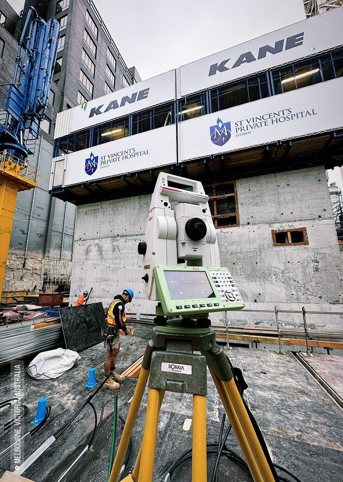
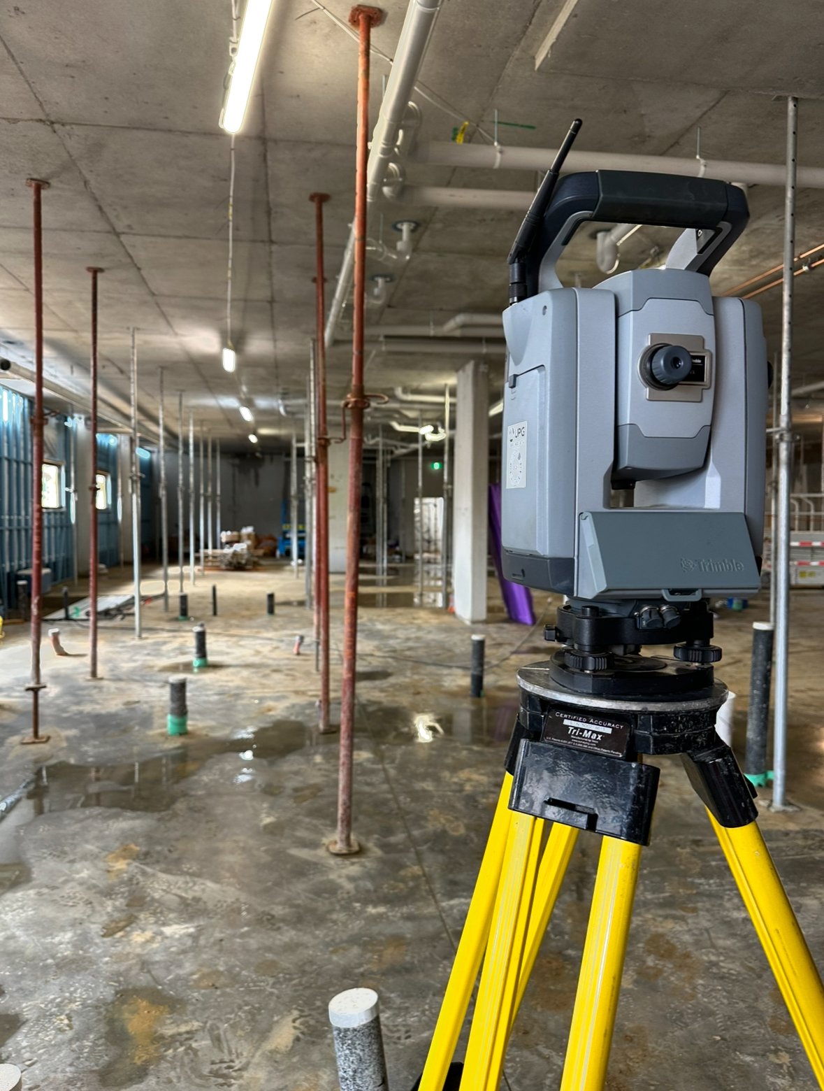
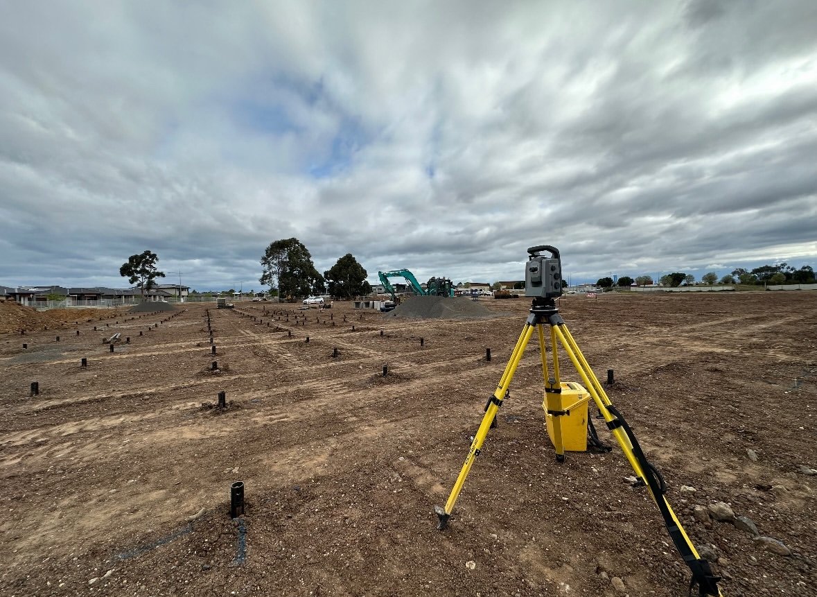
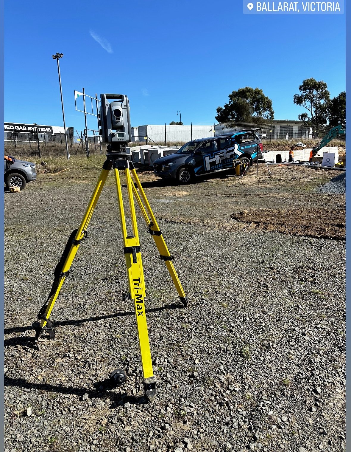
The real transformation in surveying began in the 20th century with the invention of the total station. This electronic/optical instrument combines the functions of a theodolite with distance measurement technology (EDM). It allows surveyors to measure angles and distances simultaneously, improving accuracy and speeding up the process significantly.
Next came GPS technology, which marked a groundbreaking shift in surveying. With GPS, surveyors could pinpoint locations using satellite signals, reducing the need for time-consuming on-the-ground measurements. GPS surveying enabled real-time data collection, offering precision within millimeters and transforming large-scale projects like infrastructure development, urban planning, and geospatial data collection.
Modern Surveying Tools: Drones, LiDAR, and Satellites
Today’s surveyors have access to a wide range of advanced tools that take accuracy and efficiency to new heights. Drones equipped with cameras and sensors allow surveyors to capture aerial images and create 3D models of the terrain in a fraction of the time that ground-based surveys would require.
LiDAR (Light Detection and Ranging) is another revolutionary tool that uses laser pulses to measure distances and create highly detailed, 3D representations of the Earth’s surface. LiDAR is used in a variety of applications, from mapping forests to urban planning and even autonomous vehicles.
At the highest level, satellite-based technologies like GNSS (Global Navigation Satellite Systems) offer global positioning capabilities that are integral to modern surveying. These technologies allow for the continuous collection of geospatial data, enabling large-scale projects like disaster management, land-use planning, and environmental monitoring.
The Future of Surveying Tools
The future of surveying looks even more exciting, with the integration of AI, machine learning, and autonomous systems. These technologies will allow surveyors to process vast amounts of data more efficiently and produce more accurate models of the physical world. With the rapid pace of technological advancement, surveyors will continue to play a crucial role in shaping how we understand and manage the spaces we live in.
Conclusion
From the humble chain to satellite-based positioning systems, the evolution of surveying tools has dramatically enhanced the precision, speed, and scope of the profession. As new technologies like drones and LiDAR continue to advance, surveyors are equipped with more powerful tools than ever before, enabling them to contribute to everything from construction projects to environmental conservation. This evolution not only reflects the history of surveying but also points to its exciting future.