


Geomatics Engineering vs. Traditional Surveying: What’s the Difference?
When people think of surveying, they often imagine someone standing in a field with a tripod and a measuring tool. While this image may represent traditional surveying, the field has evolved significantly over the years, leading to the rise of geomatics engineering. Both professions focus on measuring land and spaces, but the scope, tools, and techniques used differ greatly. Let’s explore the key differences between geomatics engineering and traditional surveying.
What is Traditional Surveying?
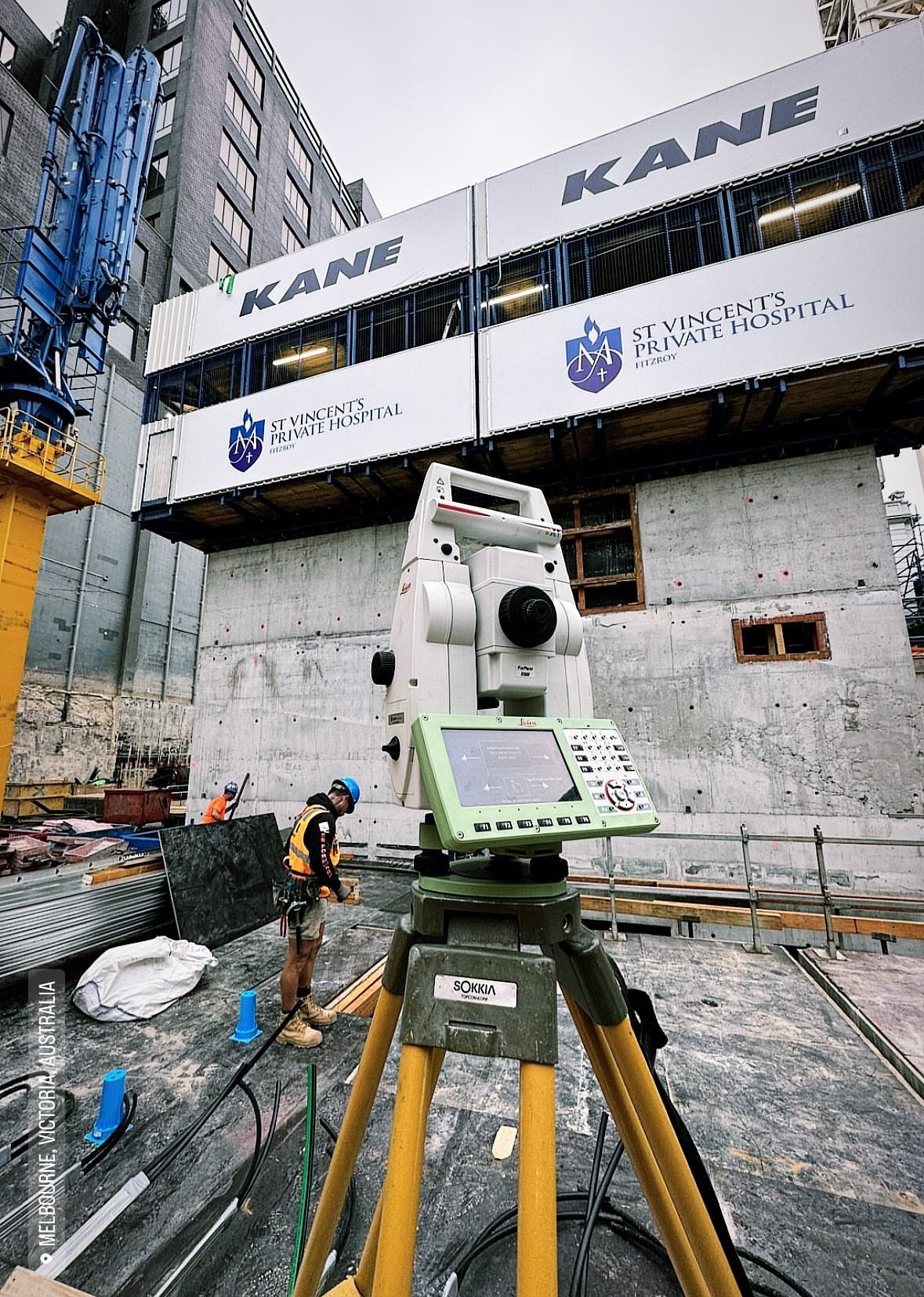
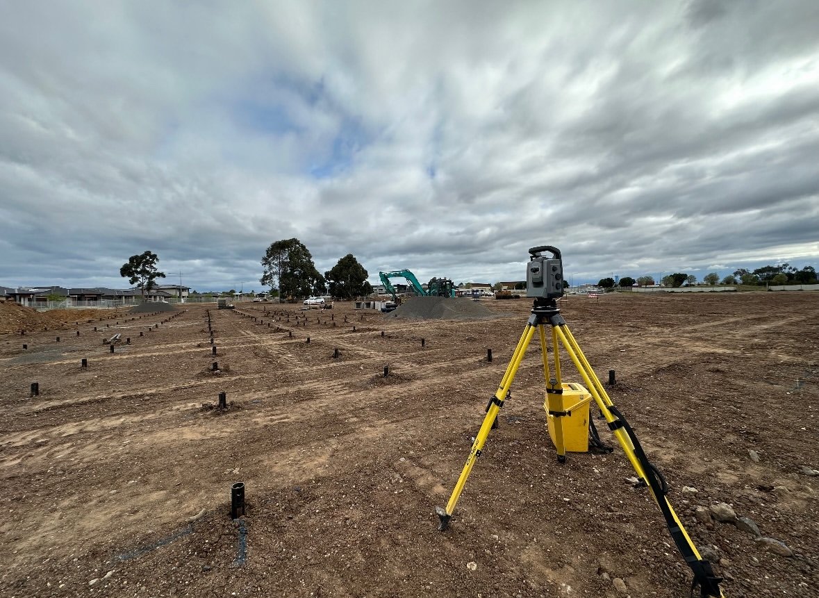
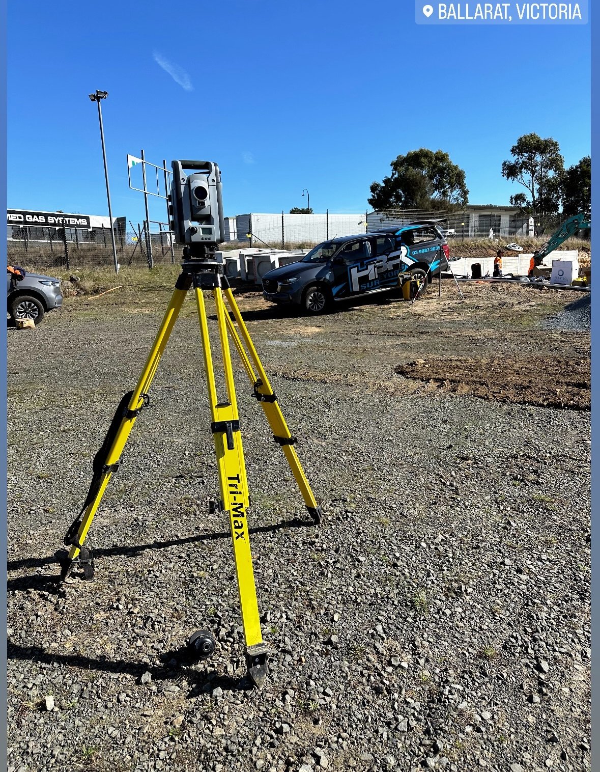
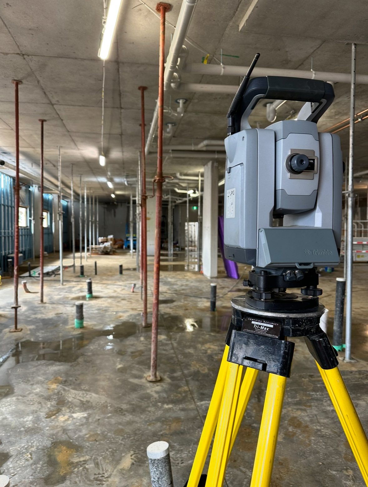
Traditional surveying has been around for centuries. It involves the process of measuring distances, angles, and positions on the Earth’s surface, typically using tools like theodolites, chains, and levels. Surveyors work on various projects such as land division, construction layouts, and map creation.
Traditional surveying is often focused on specific tasks such as boundary surveys, construction staking, and topographic surveys. The methods rely heavily on manual measurements and interpretation, though modern technologies like GPS and total stations have enhanced accuracy and efficiency.
What is Geomatics Engineering?
On the other hand, geomatics engineering is a broader, more technology-driven field. It not only includes traditional surveying techniques but also encompasses geospatial data collection, analysis, and management. Geomatics engineers use advanced tools like satellite imagery, drones, and GIS (Geographic Information Systems) to gather and analyze spatial data. This data is then used for applications like urban planning, environmental monitoring, and infrastructure management.
Geomatics engineers work with large datasets and integrate various technologies to create detailed 3D models, maps, and simulations. Their work extends beyond just land measurement; they focus on understanding spatial relationships and providing solutions for real-world problems using complex data.
Key Differences
-
Scope of Work:
Traditional surveying focuses on specific measurement tasks, while geomatics engineering covers a much broader range of activities, including data analysis and geospatial technologies. -
Tools and Technology:
Surveyors may use manual instruments and some GPS-based tools, whereas geomatics engineers rely on cutting-edge technologies such as LiDAR, satellite positioning systems, and GIS software. -
Applications:
Traditional surveyors typically work on construction, land boundaries, and mapping projects, while geomatics engineers can be involved in urban planning, environmental projects, and even emerging industries like autonomous vehicles.
Why Geomatics Engineering is the Future
As the world becomes increasingly data-driven, the need for geomatics engineers will continue to grow. Their ability to manage and analyze complex geospatial data makes them invaluable in solving modern challenges. Whether it’s managing urban expansion, monitoring environmental changes, or supporting infrastructure development, geomatics engineering offers the tools and techniques to tackle these issues efficiently.
Conclusion
While traditional surveying remains crucial, geomatics engineering represents the next step in the evolution of land measurement and data management. With a broader scope and advanced technologies, geomatics engineering has redefined how we understand and interact with the world around us. If you’re considering a career in surveying, embracing geomatics engineering could open up new and exciting opportunities.