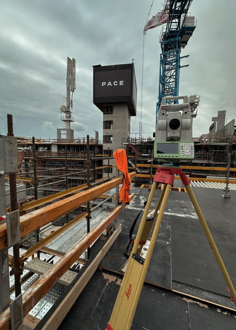
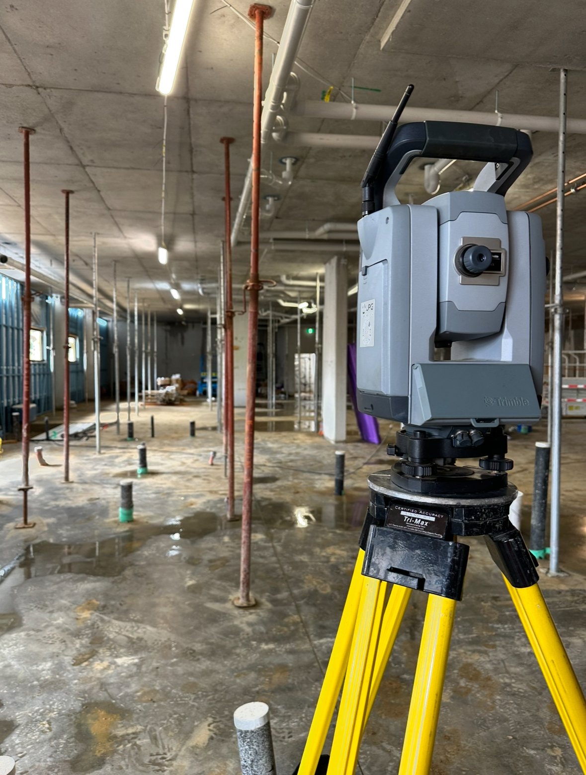
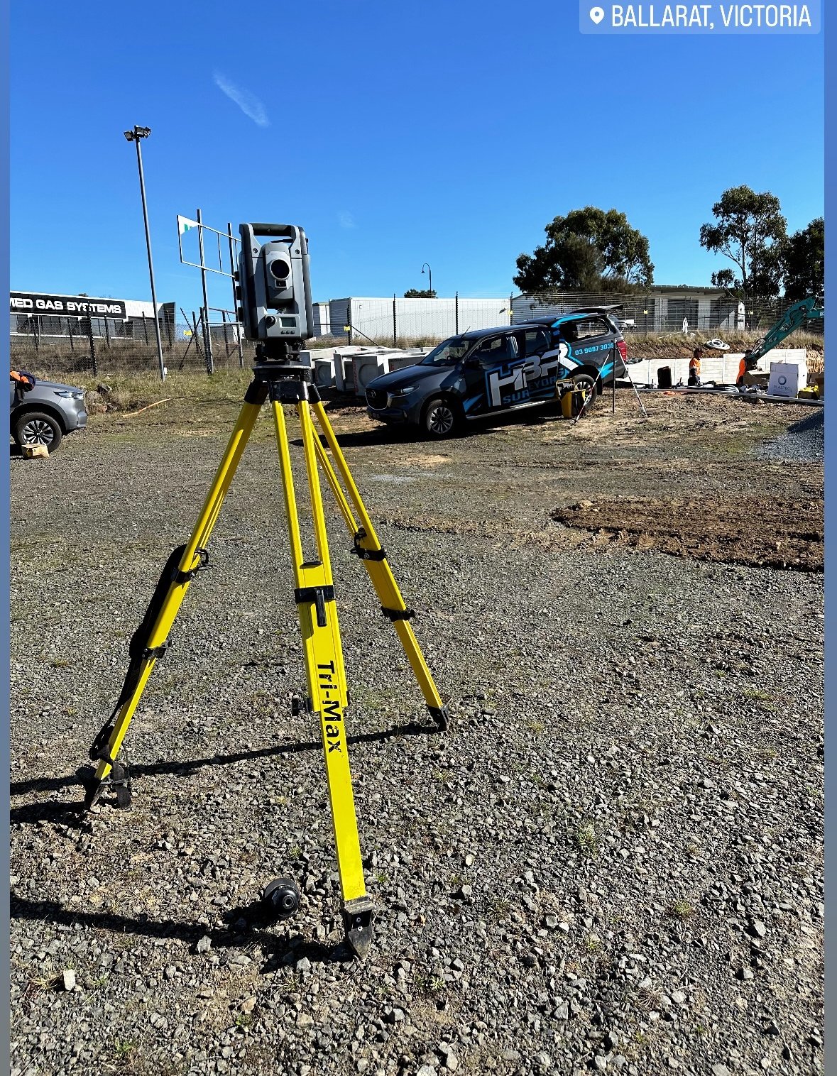
- Responsible for all surveying operations as the company’s only surveyor, including fieldwork, data processing, and reporting.
- Created civil plumbing designs and calculations (stormwater, fire, tanks, hydraulics, etc.) and conducted setouts on-site for plumbers to install necessary components.
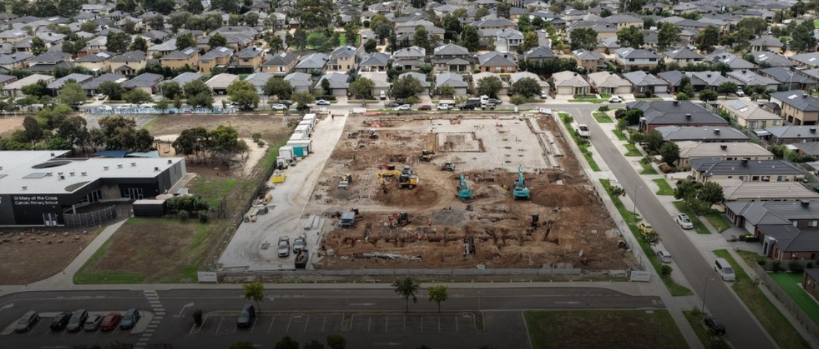
- Developed setout plans by integrating hydraulic and architectural drawings with survey control data.
- Produced As-Built drawings for primary water services and hydraulic penetration layouts.
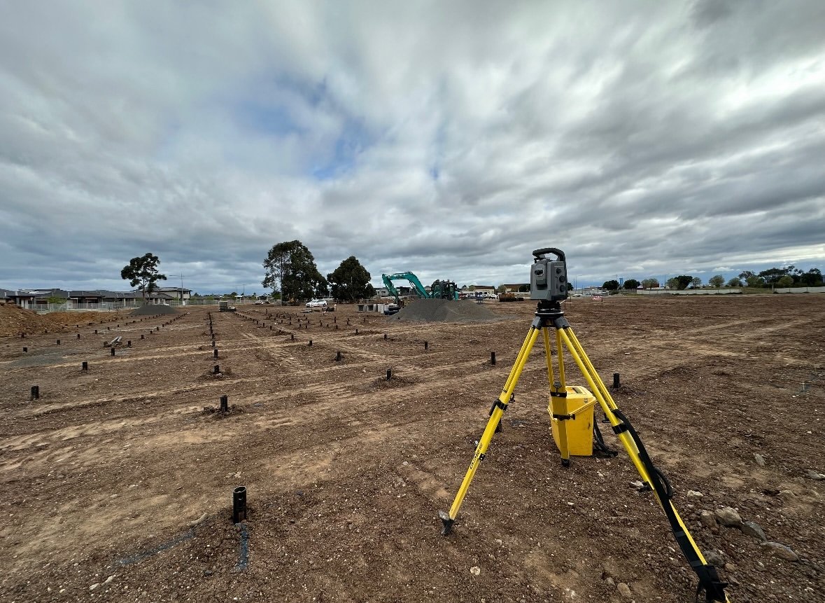
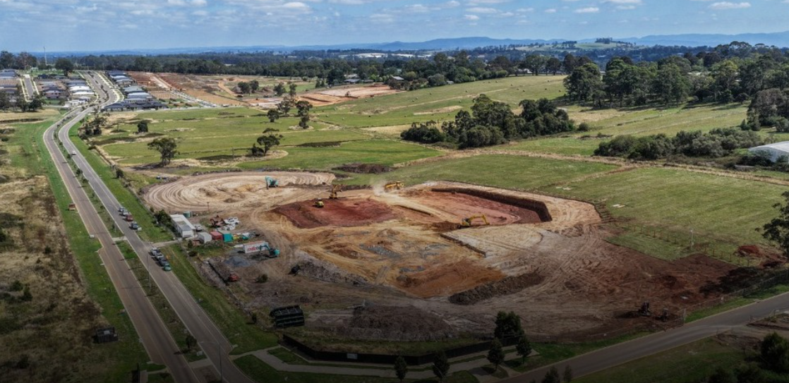
- Designed 3D Machine Control models, including surfaces, earthworks, and linework, ensuring precise excavation by conducting on-site calibration to align machine operation with design specifications.
- Established and maintained precise control points for ongoing project accuracy.
- Conducted contour and level surveys to support detailed project planning and execution.
- Performed utility mapping to locate and document underground sewer and stormwater drainage systems accurately.
- Collaborated closely with foremen and the project manager to coordinate survey efforts and ensure project milestones.

Cagri Demircioglu
Geomatics Engineer
Survey Engineer
Topographical Engineer

Cagri Demircioglu
Geomatics Engineer
Survey Engineer
Topographical Engineer
Experience
Mar 2024 - Present
Head Surveyor
Accurate Plumbing / VICTORIA

Nov 2022 - Feb 2024
Project Surveyor
Transcend Plumbing / VICTORIA
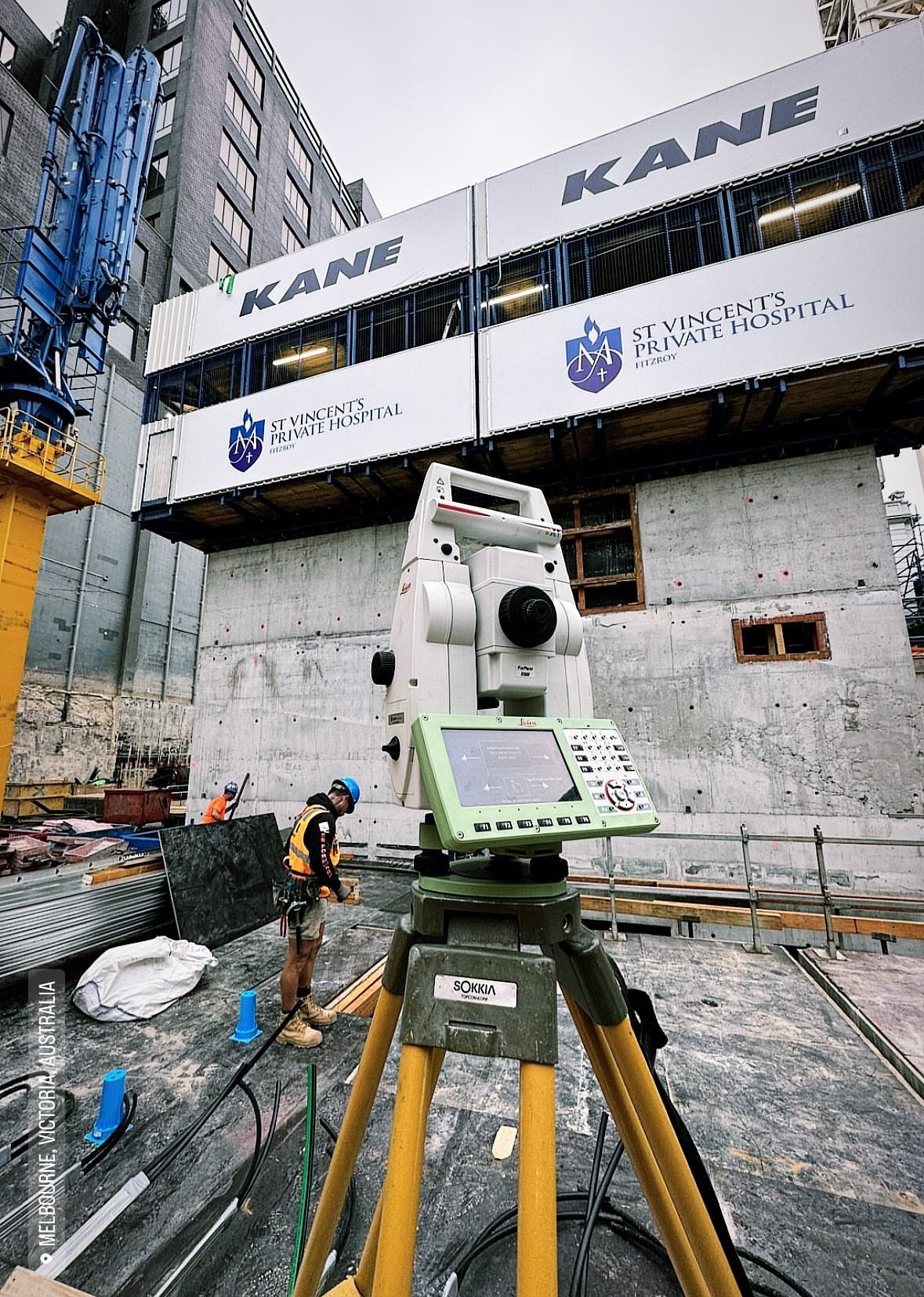
- Responsible for all surveying operations as the company’s only surveyor, including fieldwork, data processing, and reporting.
- Creation of a setout plan by overlaying the hydraulic architectural drawings with the survey control plan.
- Preparation of As-built drawings for main water services and hydraulic penetrations.
- Working in coordination with field and office staff.
- Established and maintained precise control points for ongoing project accuracy.
- Performed utility mapping to locate and document underground sewer and stormwater drainage systems accurately.
- Procuring necessary surveying equipment, researching resources to be procured, and arranging for routine service maintenance.

Jul 2017 - Jul 2020
Survey Engineer
TIJIN Surveys / TURKIYE
- Both measurements but also control for construction of concrete pitch which built by STFA and controlled by Hill International in a container stock field whose Kibar Holding and MSC partnerships.
- Iskenderun Organized Industrial Zone’s parceling and consolidation with the purpose of public benefit.
- Produced the orthophoto map of the entire Arsuz district for 1:1000 development plan implementation.
- Made high precision measurements at regular intervals in order to make the deformation analysis of ASSAN Port.
- Contributed to expropriation of the energy transmission line of GURIS Company in HATAY/TURKEY.
Education
2016-2021
Canakkale Onsekiz Mart University
Faculty of Engineering
Geomatics Engineering (𝐁𝐚𝐜𝐡𝐞𝐥𝐨𝐫 𝐨𝐟 𝐒𝐜𝐢𝐞𝐧𝐜𝐞)
EUR-ACE:
https://eurace.enaee.eu/node/20707
Washington Accord:
https://www.mudek.org.tr/en/akredit/akredite2025.shtm
Graduation Thesis: Production of Maps Suitable for Different Purposes through Aerial Photogrammetry of ÇOMÜ Terzioğlu Campus, Examination with GIS Techniques, and Transfer to Virtual Reality Environment
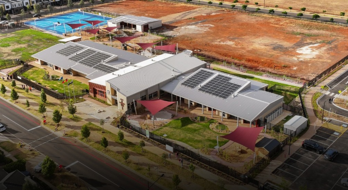
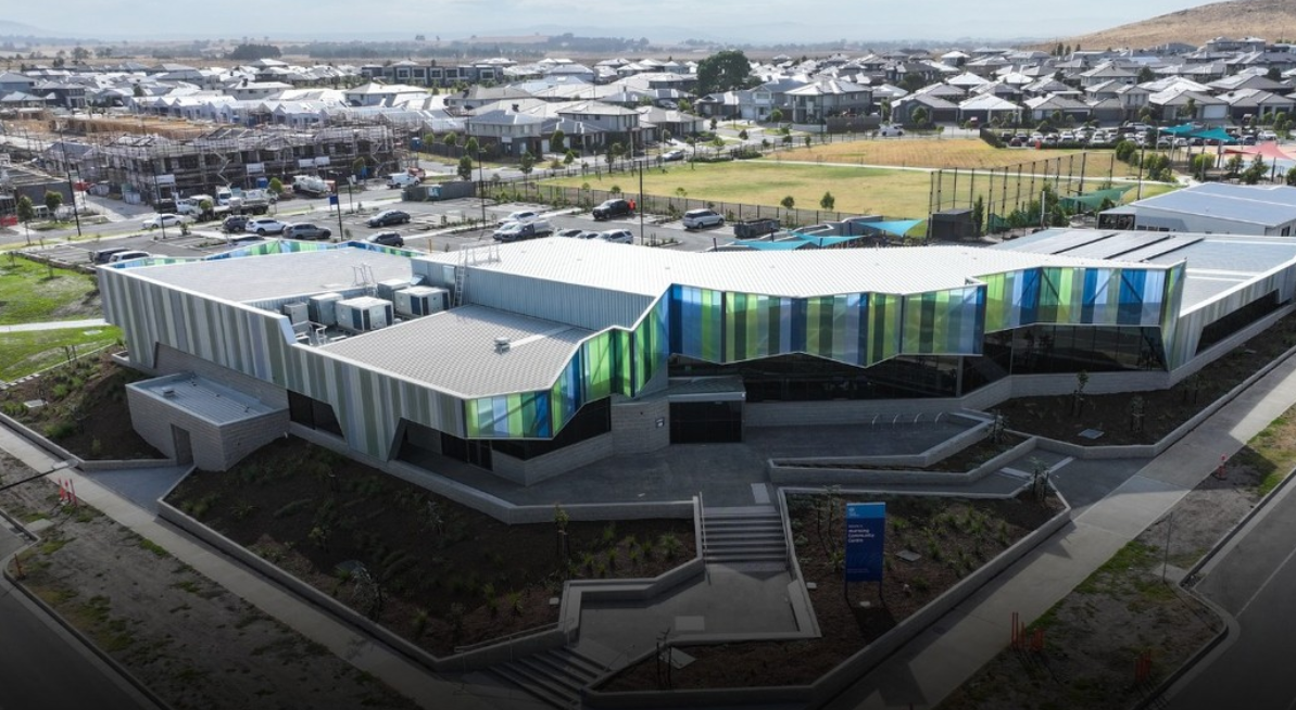
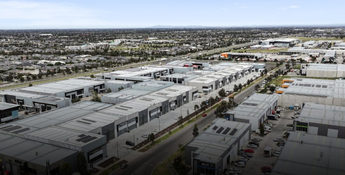
Works
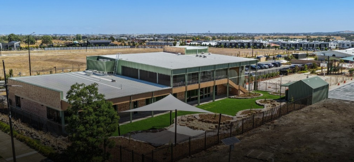

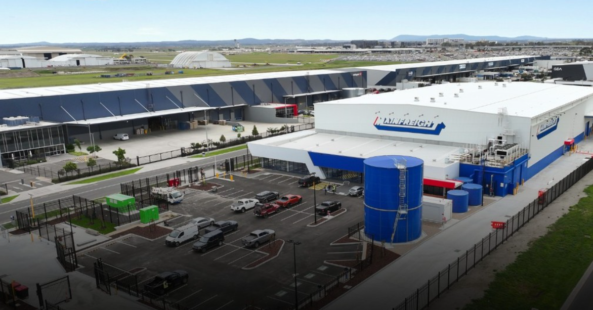
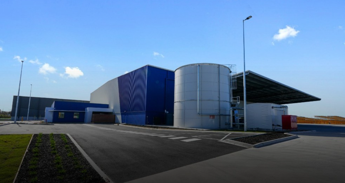
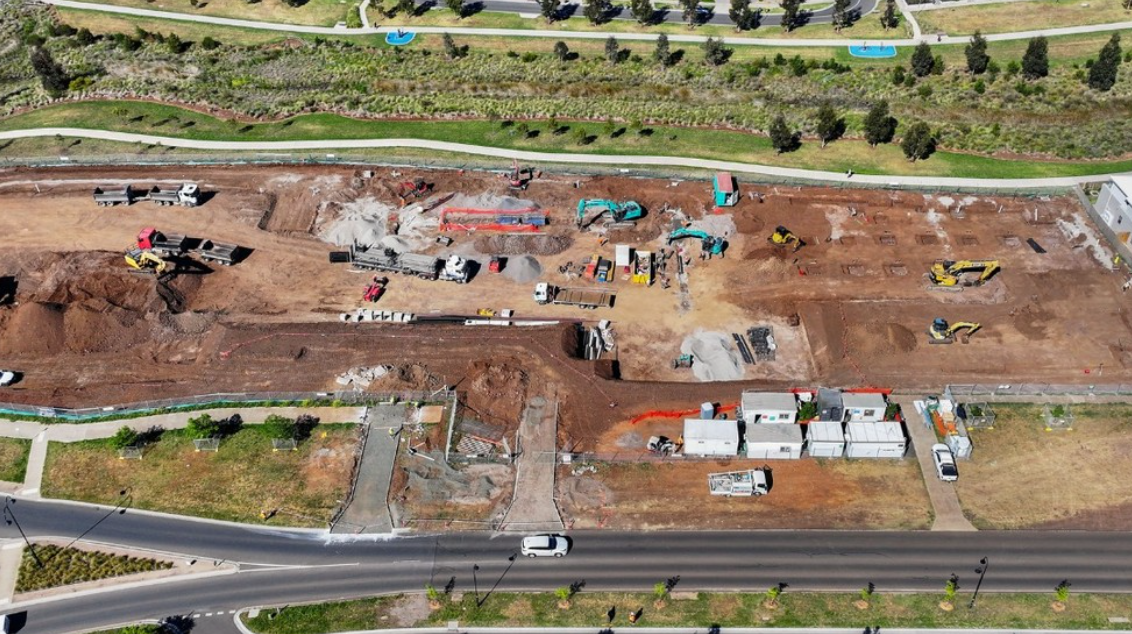
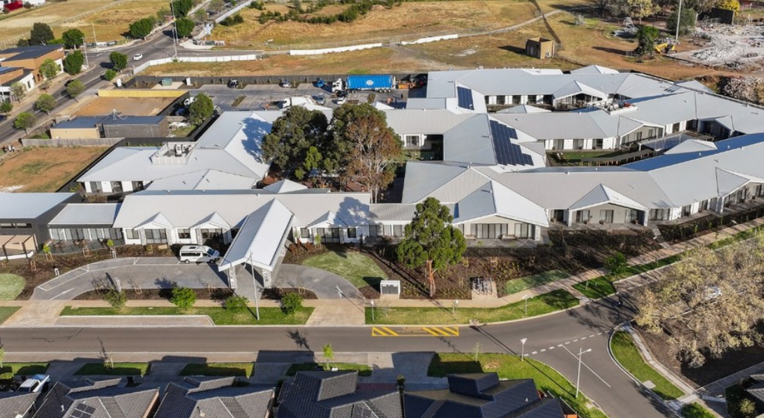

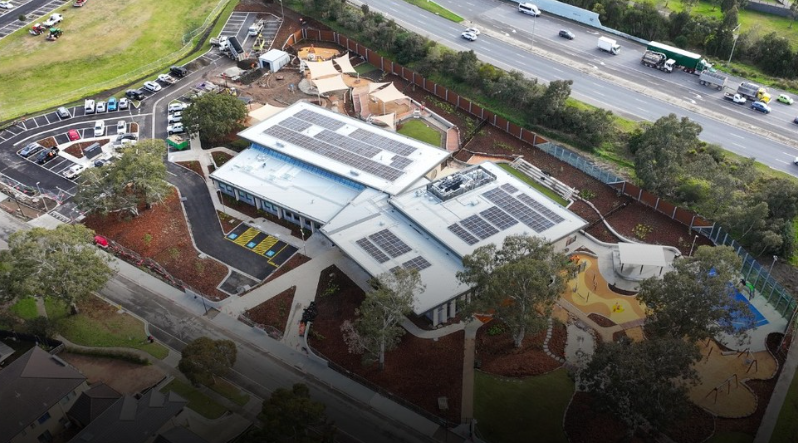
Keysborough Community Centre
Surveying